Yorkshire A to Y
Gazetteer
Leeds metropolitan district X
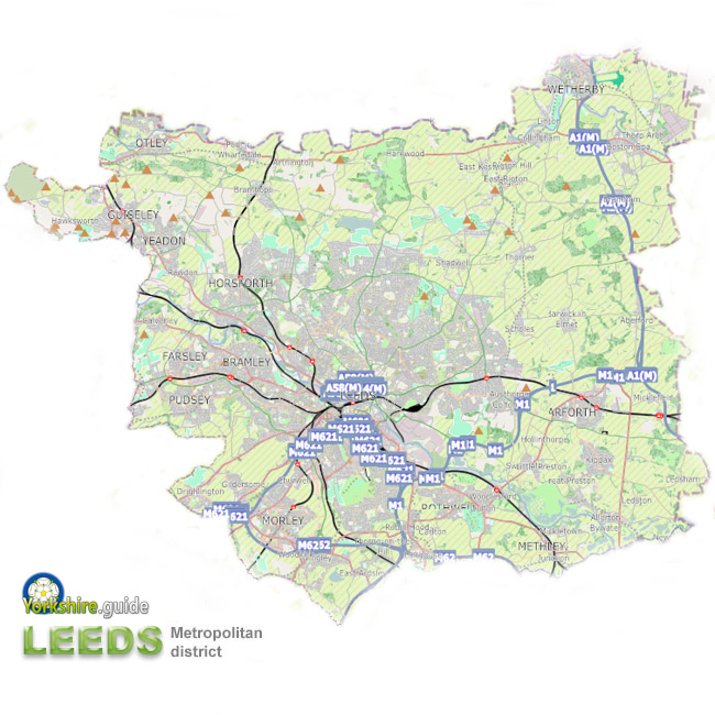 Leeds metropolitan district is one of five very large metropolitan authorities which make up West Yorkshire and is in the north-east corner of the county.
As well as the city of Leeds, the metropolitan district, created in 1974, is a 213 square mile (551.7 sq km)^ region including many surrounding towns and villages.
Continuing city expansion has seen Leeds merge itself into some of its nearest neighbours, but there are still many distinct towns and villages within the Leeds district and extensive agricultural areas, particularly to the north-east of the city.
The district population of 812,000* is about one-third of the total for West Yorkshire and about 13% of the population of the whole of Yorkshire.
Leeds metropolitan district is the second largest metropolitan district in England by area — after Doncaster in South Yorkshire and ahead of third-placed Kirklees in West Yorkshire. The administrative area is around double that of the Birmingham metropolitan district, more than four times the area of Liverpool metropolitan district and almost five times the area of Manchester or Newcastle upon Tyne metropolitan districts.
^ Area figure from ONS Standard Area Measurements 2022 (converted from hectares).
* Population figure from Census 2021.
Contains public sector information licensed under the
 Open Government Licence v3.0.
Places in the Leeds metropolitan district are:
 Aberford Allerton Bywater Armley Bardsey Barwick in Elmet Beeston
 Boston Spa
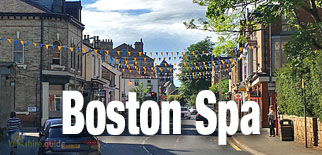 Bramham
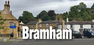 Bramhope Bramley Burley Calverley Carlton Chapel Allerton Clifford Collingham Cottingley Drighlington East Ardsley East Keswick East Rigton Farnley Farsley Garforth
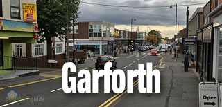 Gildersome Guiseley
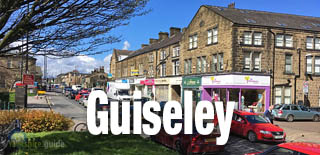 Halton Harewood Hawksworth Hawksworth Headingley Horsforth Hunslet Kippax Kirkstall Ledston Ledsham Leeds
 Linton Lofthouse Menston Methley Micklefield Mickletown Middleton Moor Allerton Morley
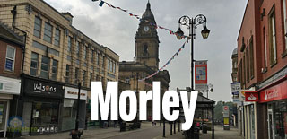 Otley
Otley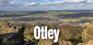 Oulton Pool in Wharfedale Pudsey
 Rawdon Robin Hood Rothwell
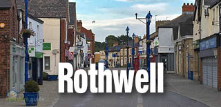 Scarcroft Scholes Seacroft Shadwell Stanningley Swillington Thorner Thorp Arch Thorpe on the Hill Tingley West Ardsley Wetherby
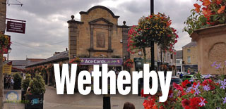 Whitkirk Woodkirk Woodlesford Wortley Yeadon
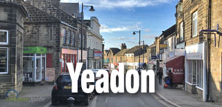
We continue to add more villages to our A to Y gazetteer and the above may not yet list all places in Leeds metropolitan district